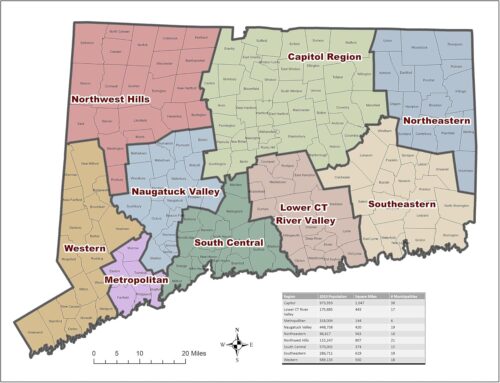
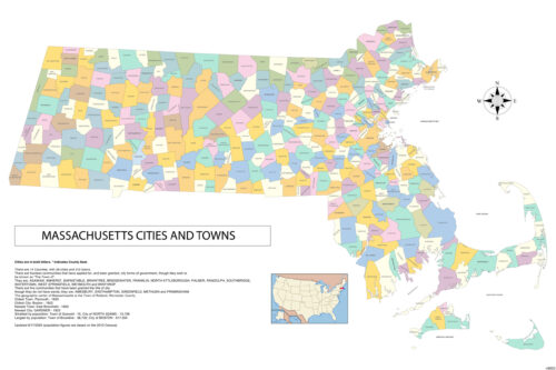
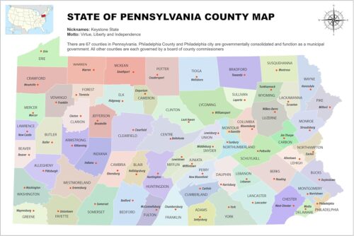
The United States of America is a vast country with diverse geography, and maps are an important tool for navigating and understanding its many regions. USA maps come in various forms, from simple wall maps to interactive digital maps, and each serves a different purpose.

One of the most common types of USA maps is the political map. These maps show the boundaries of the 50 states, as well as their capitals and major cities. Political maps are used in schools and government offices, as well as by businesses and individuals who need to understand the layout of the country.

Another type of USA map is the physical map, which shows the natural features of the country. These maps illustrate mountains, rivers, lakes, deserts, and other landforms that make up the American landscape. Physical maps are used by geographers, hikers, and tourists who want to explore the country’s natural wonders.

Climate maps are also useful for understanding the geography of the United States. These maps show the temperature and precipitation patterns across the country, which can help individuals and businesses plan for weather-related events.

In addition to traditional paper maps, digital maps have become increasingly popular in recent years. Interactive maps can be found online and can provide a wealth of information, such as traffic conditions, restaurant locations, and tourist attractions. These maps are often GPS-enabled and can be used on mobile devices for on-the-go navigation.

Thematic maps are another type of USA map that can be used to convey specific information. For example, an election map might show the voting patterns of different regions, while a population density map might highlight the most densely populated areas of the country. Thematic maps are useful for businesses, researchers, and policymakers who need to analyze data and understand patterns across the country.

  • Select options Details Quick View

Title

Go to Top